
South Devon National Landscape
Follaton House, Plymouth Road,
Totnes TQ9 5NE

A detailed map accurately depicting the designation can be viewed by using Defra’s Magic Map Application. Select the options that will show statutory land-based designations, Areas of Outstanding Natural Beauty to view the South Devon National Landscape designated area.
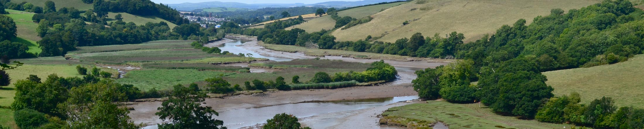
Covering 340 square kilometres (131 square miles) of coastline, estuaries and countryside, South Devon National Landscape stretches from Berry Head in Brixham to Jennycliff in Plymouth. As well as being a place of fabulous views and fantastic countryside it is home to 34,000 people.

This basic map is intended as a simple overview of the extent of the South Devon National Landscape. If wishing to see a detailed map accurately depicting the South Devon National Landscape designated area, please use Defra’s Magic Map Application.
To view a detailed map of the National Landscape that takes you to property level and shows you other environmental landscape features, use this link Devon County Council’s Environment Viewer. This link will take you to a map focused in on South Devon National Landscape with Parish and Town boundaries pre-drawn.
We also have a Google map of the National Landscape. This map allows you to click on the icon of interest to reveal more information about the selected place, area or event that you are interested in. If wishing to see a detailed map accurately depicting the South Devon National Landscape designated area, please use Defra’s Magic Map Application.

